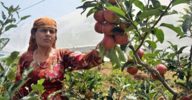
Himachal’s Weather Brings Relief to Farmers and Orchardists: More Rain & Slow likely in coming weeks
Yesterday, Himachal Pradesh experienced a mix of snowfall and rain, bringing much-needed relief to farmers and orchardists. The weather continues to be cloudy in many parts of the state, including the capital, Shimla. According to the Meteorological Department, another spell of rain and snowfall is expected to begin soon. From the midnight of February 25, a western disturbance will become active, affecting the entire state.
The Shimla Meteorological Department predicts snowfall in high-altitude areas and rain in mid-mountainous regions on February 21, 22, 24, and 25. The activation of the western disturbance on February 25 will lead to more rain and snowfall across the state. Intermittent rain is expected in the plains on February 26, 27, and 28, with snowfall likely in mid and high-altitude regions. This weather pattern is expected to continue for four days due to the strong western disturbance.
Scientists at the Meteorological Center, reported that the past 24 hours saw significant rain and snowfall across the state, causing a temperature drop of 7 to 8 degrees. The highest snowfall was recorded in Spiti at 42 cm and in Keylong at 36 cm, while Bilaspur received the highest rainfall at 56 mm. Another western disturbance is expected to enter the state soon, becoming active from midnight on February 25 and impacting the state until the afternoon of March 1. During this period, intermittent rain is expected in the plains, with snowfall likely in mid and high-altitude regions.
Relief for Farmers and Orchardists from Rain and Snowfall
The recent rain and snowfall have provided much-needed relief to farmers and orchardists who were struggling with drought conditions. From January 1 to February 19, the state received 66% less rainfall than normal, making this weather a welcome change.


