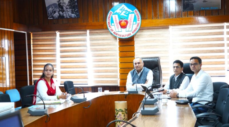
A training workshop on Krishi Mapper application organized
An online meeting and training session on the ‘Krishi Mapper’ application, a digital platform developed by the Government of India for capturing the exact location of fields, orchard and assets through geo-tagging and geo-fencing, was organised under the chairmanship of Director Horticulture Vinay Singh, here today.
A spokesperson of the Horticulture Department informed that this application would support real-time monitoring for instant supervision of field activities and assessment of progress besides elimination of duplication of beneficiaries to ensure transparency. The application would be beneficial in maintaining the centralized digital database for maintaining integrated records of all horticulture and agriculture activities.
He said that the application is accessible as a mobile app and web portal, enabling data entry at the field level. The upcoming feature of the application would be capable to capture data even without network connectivity.
During the training session, emphasis was laid on the mandatory adoption of geo-tagging and geo-fencing for all components of the Mission for Integrated Development of Horticulture (MIDH) schemes. Instructions were given for timely data uploading, creation of user IDs at departmental and field level and strict compliance to avoid stoppage of funds by the Government of India. It was also directed that no subsidy should be released without geo-tagging and geo-fencing and that all field officers should be given immediate training on user ID creation for effective implementation of Krishi Mapper.
The spokesperson said that the main features of Krishi Mapper are real-time monitoring, elimination of beneficiary duplication and the training and sensitization of field staff. Upcoming features include integration with the MIDH Suraksha portal, offline data entry facility and expansion of the application.


